On this page

Submit feedback to
North Australian Centre for Autonomous Systems (NACAS) is seeking feedback on Remotely Piloted Aircraft System (RPAS) beyond visual line of sight (BVLOS) operations in the Northern Territory.
The issue
- Purpose: delivery of medical goods
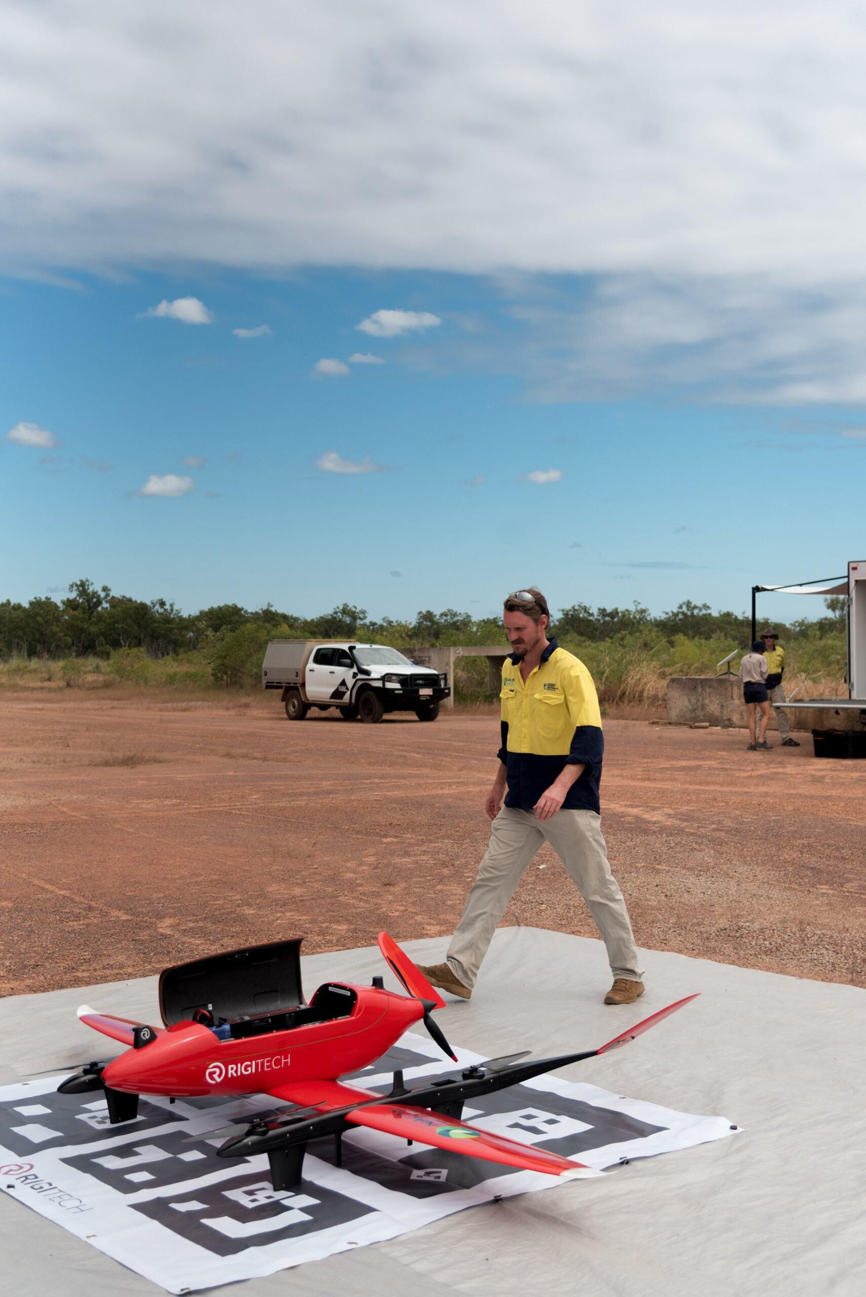
- Drone: Rigitech Eiger 3 meter wingspan and 21.62 kilogram maximum take-off weight
- Callsign: "unmanned"
- Mode of flight: BVLOS
- Departure/Destination: Jabiru Red Lily Health Centre to Gunbalanya Health Centre and return
- Route: following Oenpelli Road (100-meter west of)
- Altitude: not above 400 feet above ground level (500 above mean sea level) near towns/airfields. 1000 feet above mean sea level enroute
Purpose
NACAS under Charles Darwin University (CDU) is seeking feedback on a RPAS BVLOS Rigitech Eiger drone (3 meter wingspan, 21.62 kilogram maximum take-off weight (MTOW)) for medical deliveries from Jabiru Red Lily to Gunbalanya Health Centre, using callsign "unmanned." Flight Beyond Visual Line of Sight (BVLOS) will follow Oenpelli Road, staying below 400 feet above ground level near towns and 1000 feet above mean sea level enroute.
Proposal
NACAS plan to fly the Rigitech Eiger 3 Drone (2.73 meter wingspan, 21.62 kilogram maximum take-off weight (MTOW)) along the Arnhem Hwy/Oenpelli Road, from Jabiru Red Lily Health Centre to Gunbalanya Health Centre.
The RPAS will be flown under Beyond Visual Line of Sight (BVLOS) Rules. Due to the drone's fixed-wing design and automated missions, airborne deconfliction can be more challenging.
Flight details:
- Departing Jabiru, staying below 500 feet above mean sea level over the lake and township.
- Below 500 feet above mean sea level on Oenpelli Road until Magela Creek Crossing, where we will climb to 1000 feet above mean sea level.
- At Red Lily Lookout, we will descend and remain below 400 feet above ground level near the Oenpelli/Maningrida Rd intersection.
- Please review NACAS’s flight path and share any feedback to ensure safe communication and deconfliction.


Submitted by
Matthew WorradNorth Australian Centre for Autonomous Systems (NACAS) under Charles Darwin University (CDU)
matthew.worrad@cdu.edu.au
Relevant documentation
Related links
https://www.nacas.net/
https://www.youtube.com/watch?v=UkJ6HYB-D6I
https://www.youtube.com/watch?v=uj5wh63pOG8
https://rigi.tech/eiger/