On this page

Submit feedback to
North Australia Centre for Autonomous Systems (NACAS), part of Charles Darwin University, researches Remotely Piloted Aircraft System (RPAS) for delivery/survey, operates beyond visual line of sight (BVLOS) flights, and seeks airspace feedback.
The issue
NACAS started flying here December 2023, a Notice to airmen (NOTAM) is published in the Brisbane Flight Information Region (YBBB FIR). The organisation has had 2 breakdowns in separation and believe this will help the preflight deconfliction process.
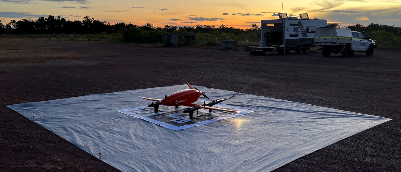
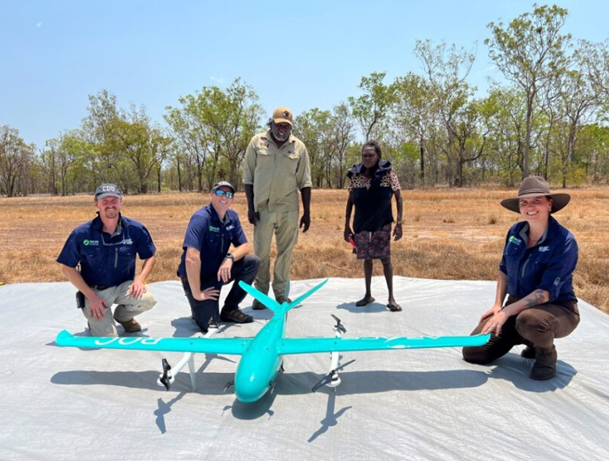
We fly the following RPAS:
- Rigitech Eiger 3 - 2.73m Wingspan and 21.62 kg
- Arace ROC - 2.5m Wingspan and 13.5 kg
- Arace Griffin Pro - 2.13m Wingspan 8.5 kg
We believe that the size of the aircraft and lack of manoeuvrability due to their fixed-wing design makes airborne deconfliction more challenging.
Purpose
NACAS is a RPAS research centre under Charles Darwin University. We at NACAS are researching the use of RPAS for long-range delivery and survey in the Northern Territory (NT).
We have been approved to use a 3432-hectare parcel of crown land 5 nautical mile (n mile) southwest of Koolpinyah Station, 7 n mile north-north-east of Emkaytee airport (YMKT) and 15 n mile east of Darwin airport (YPDN). We have an instrument from the Civil Aviation Safety Authority (CASA) to conduct BVLOS operations not above 2000 feet.
Due to our proximity to Class C airspace, our position on runway heading of runway 11 at Darwin airport and the enduring nature of our research we intend to establish a Danger Area to cover our BVLOS operational volume.
Please see below, which shows our intended Danger Areas. The area marked amber is up to 500 feet above mean sea level (AMSL) and area marked red is up to 2000 feet AMSL.
We welcome feedback from other airspace users. We look forward to working with the community to ensure we have effective pre-flight and inflight communication to enable safe deconfliction.
Proposal
The proposed danger is shown below:
Related links
https://www.youtube.com/watch?v=ixPqDDGGqL4


